For reference when cruising the Stort here are the approximate distances for each pound and depth for each lock. Lock numbers are in (brackets).
Pound distances calculated using
Canal Plan AC and given to the nearest eighth of a mile. Lock depths are referenced from
History of Lee and Stort and are in [square brackets, imperial/metric]
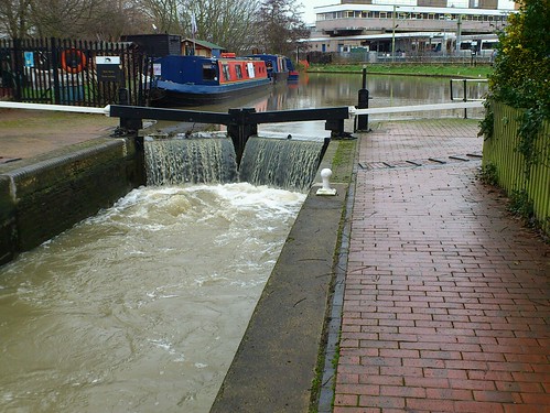
Junction with River Lee to Lower Lock (15) [3'9"/114cm]
3/8 of a mile
Lower Lock to Brick Lock (14) [6'3"/190cm]
½ a mile *the entrance to Roydon Marina is in this pound
Brick Lock to Roydon Lock (13) [7'0"/213cm]
7/8 of a mile
Roydon Lock to Hunsdon Mill Lock (12) [7'0"/213cm]
1 mile
Hunsdon Mill Lock to Parndon Mill Lock (11) [7'0"/213cm]
¼ of a mile
Parndon Mill to Burnt Mill Lock (10) [4'1"/124cm]
5/8 of a mile
Burnt Mill Lock to Latton Lock (9) [6'0"/183cm]
1 and 1/8 miles
Latton Lock to Harlow Mill Lock (8) [8'9"/267cm]
1 and 1/8 miles
Harlow Mill Lock to Feakes Lock (7) [6'0"/183cm]
5/8 of a mile
Feakes Lock to Sheering Mill Lock (6) [5'8"/173cm]
½ a mile
Sheering Mill Lock to Sawbridgeworth Lock (5) [7'5"/226cm]
½ a mile
Sawbridgeworth Lock to Tednambury Lock (4) [5'9"/175cm]
1 and 3/8 miles
Tednambury Lock to Spellbrook Lock (3) [5'0"/152cm]
5/8 of a mile
Spellbrook Lock to Twyford Lock (2) [7'0"/213cm]
1 and 3/8 miles
Twyford Lock to South Mill Lock (1) [5'5"/165cm]
5/8 of a mile
South Mill Lock to Causeway Bridge, head of navigation
1 and 1/8 miles